|
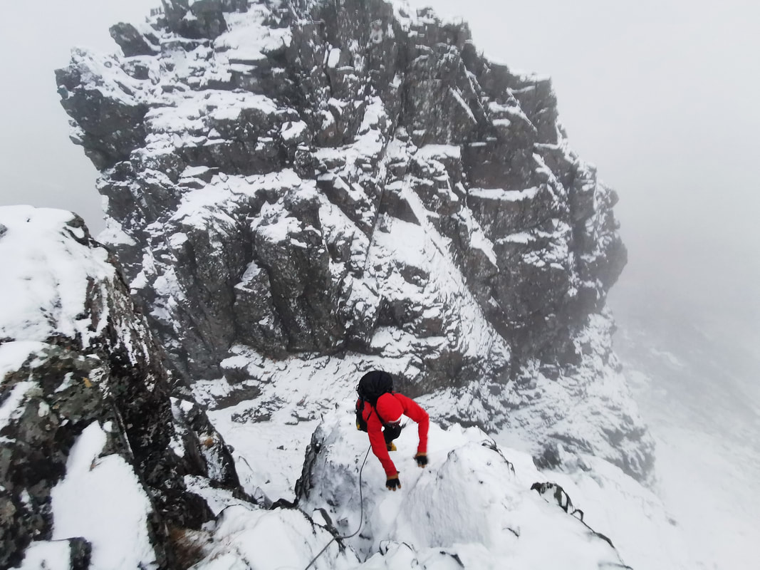
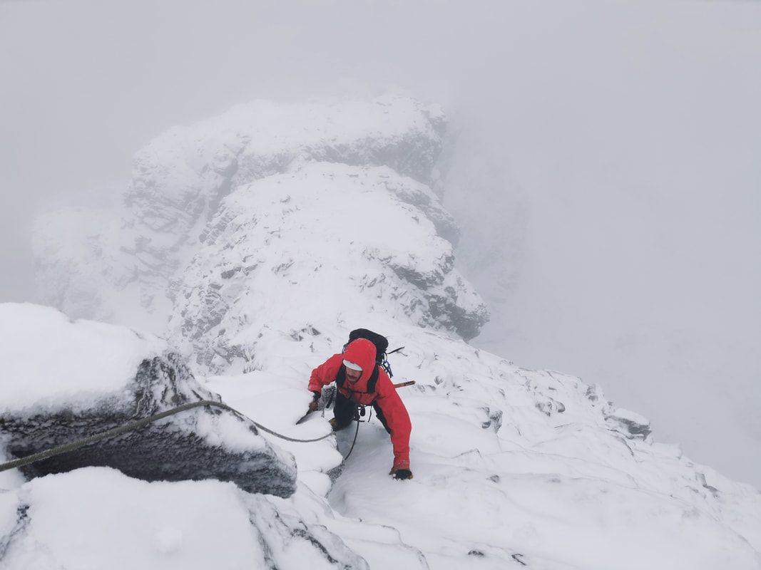
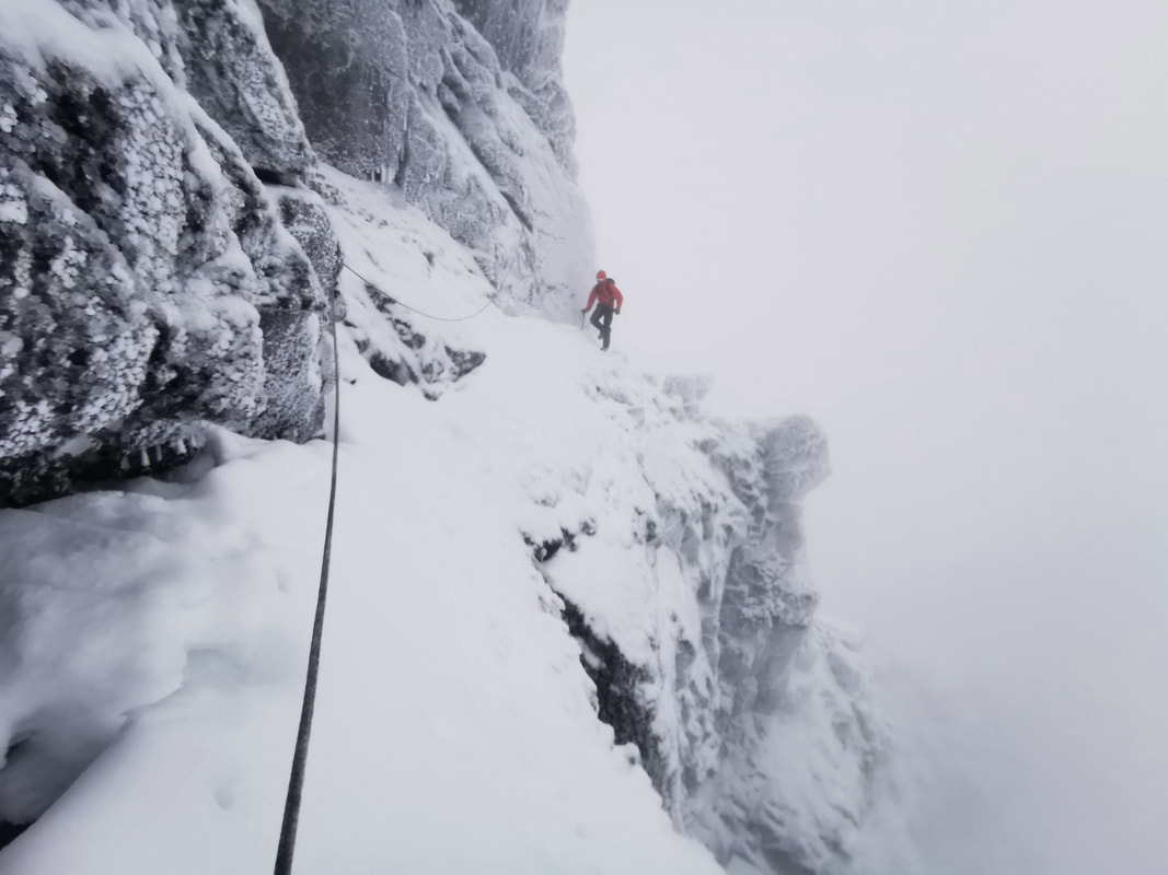
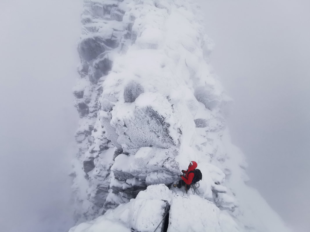
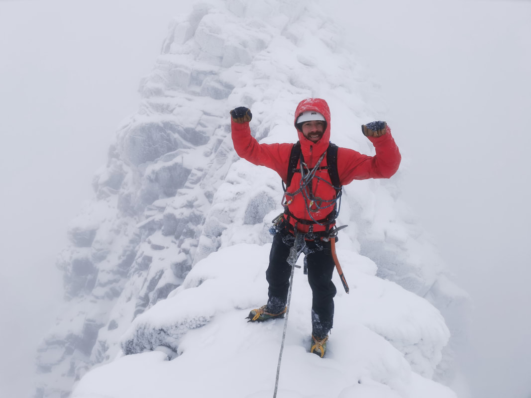
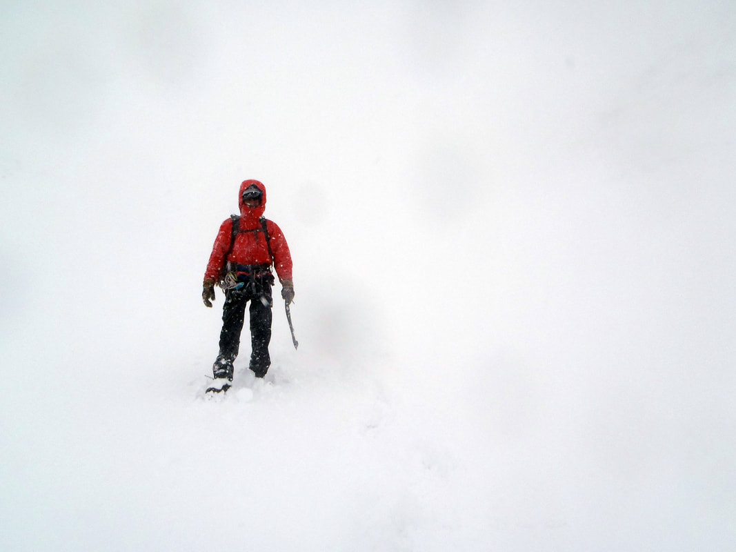
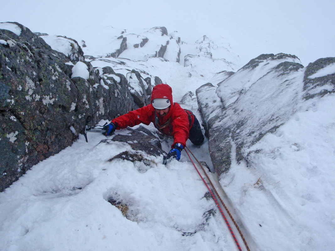
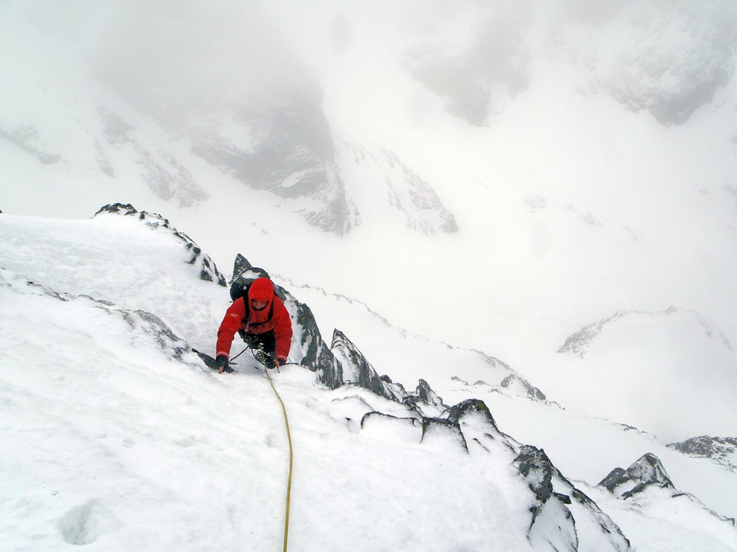
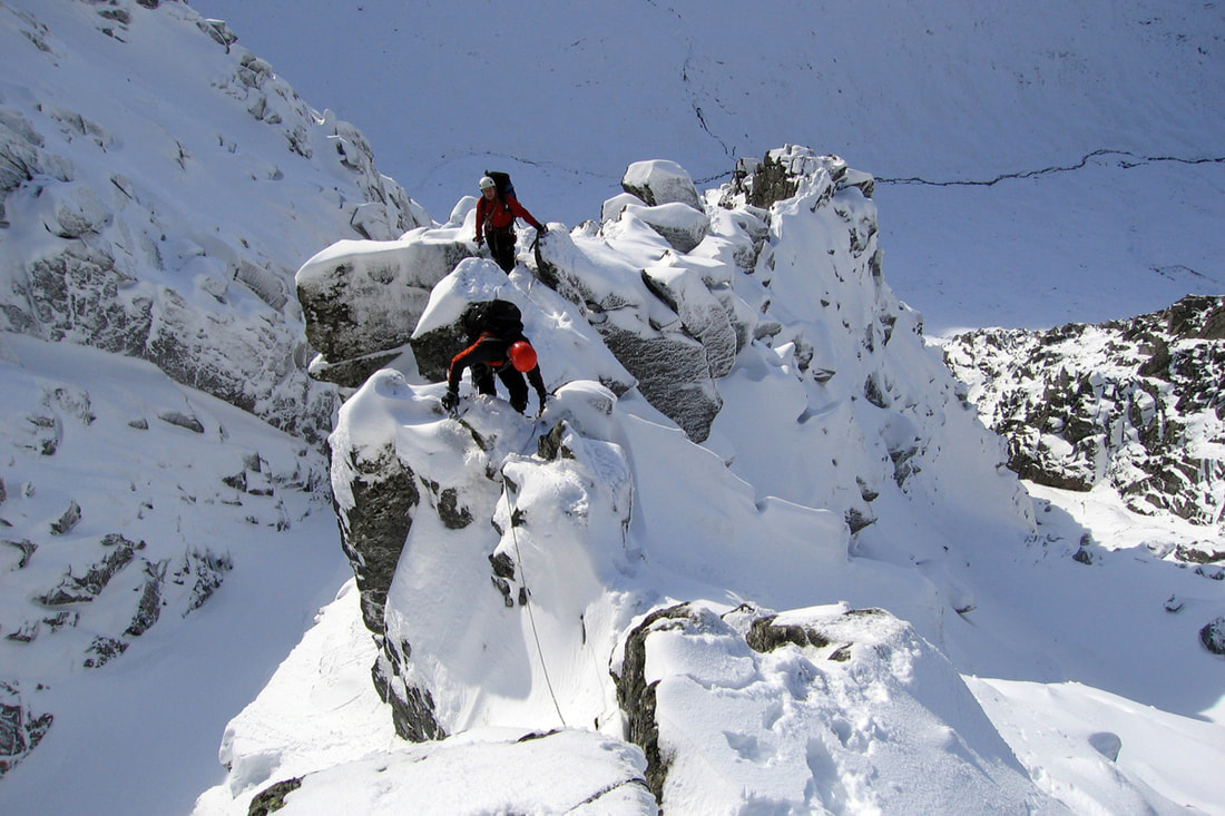
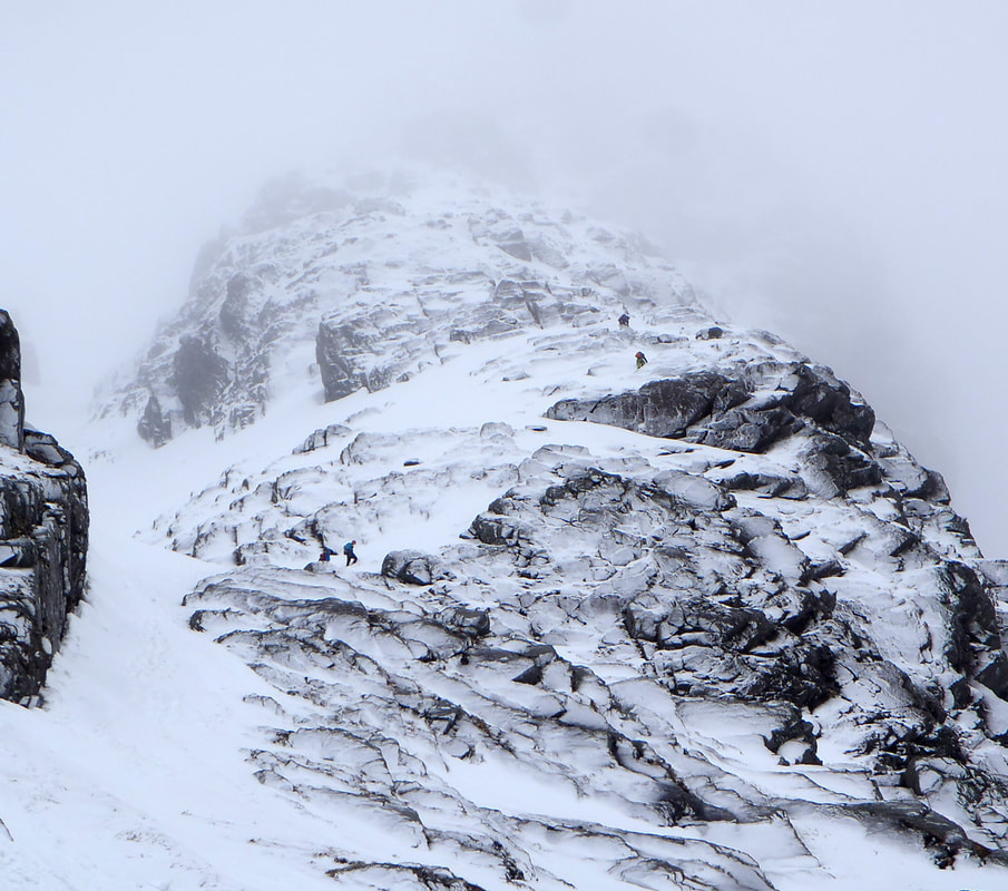
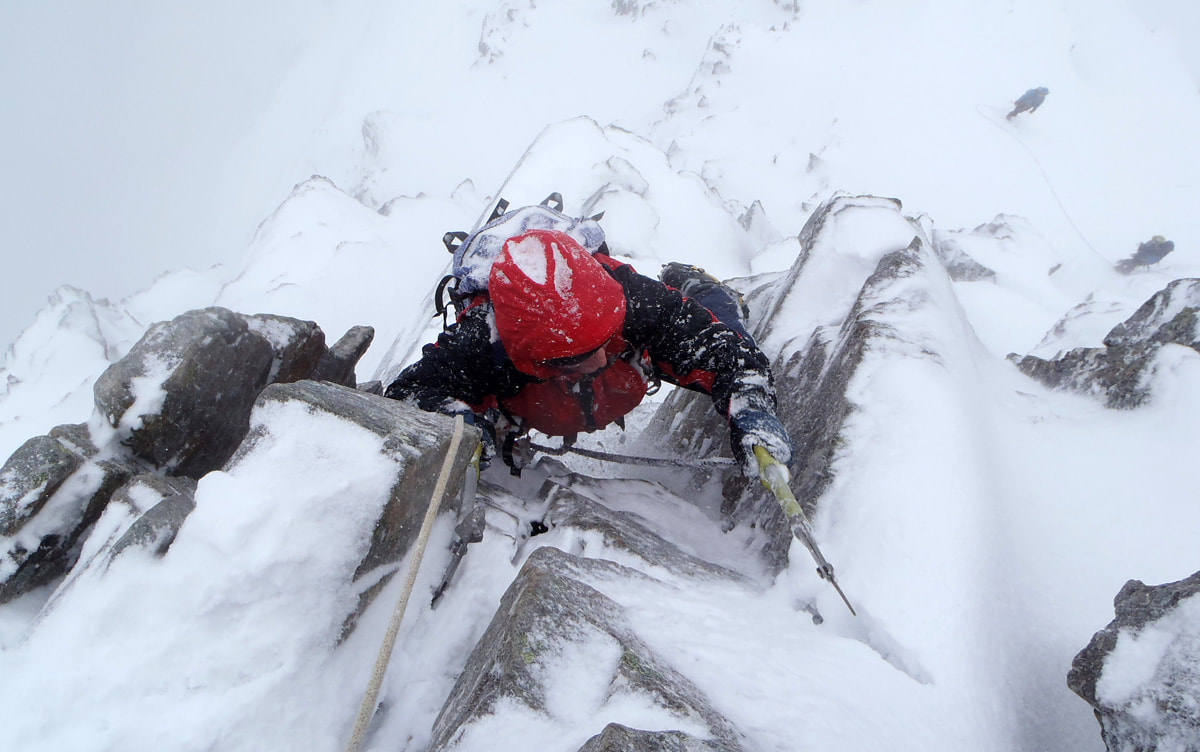
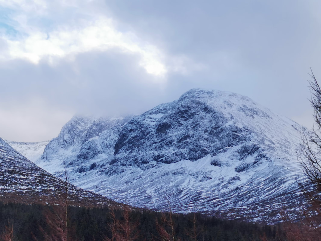
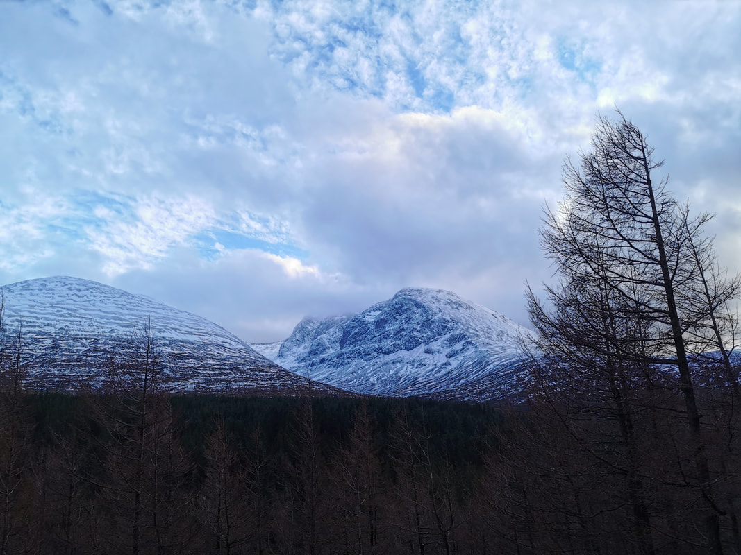
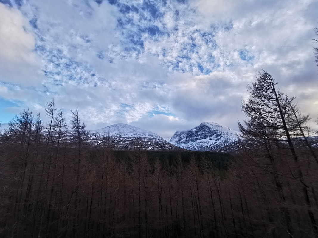
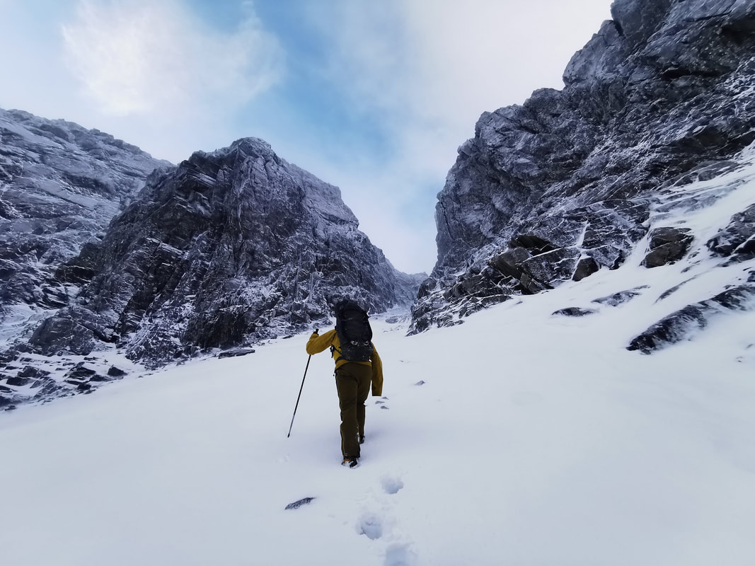
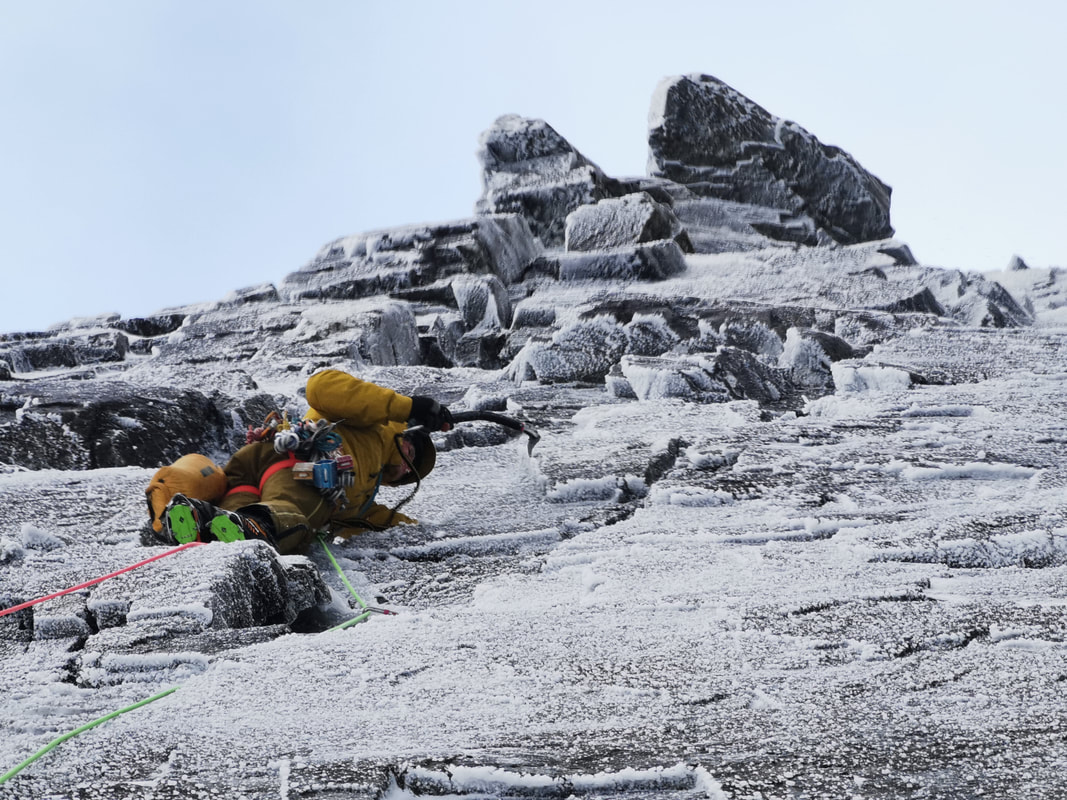
"We don't do it because it is easy", a phrase I have used quite a lot, certainly applied today. On Tower Ridge you don't want too much wind, especially at the narrow bit leading to Tower Gap. So on a day with a potential wind speed forecast at 60mph, and with drizzle falling onto the rocks and freezing into verglas and a thick icy crust on the soft snow, Tower Ridge was not easy today, but it ticked all the boxes and gave Ryan and me a great experience. Ryan is very fit indeed and has been climbing and walking in Scotland and in The Pyrenees for many years. This was his first day of winter climbing in Scotland despite spending plenty of time in Fort William his whole life. He was up for a challenge and to do a climb on the North Face, so Tower Ridge was a great option. The forecast wind speed was a worry though, and we were very aware that we might need to escape from the Eastern Traverse to Tower Gully. As it worked out, the wind was strong on the lower sections of the ridge, but at The Great Tower and crossing Tower Gap it was perfectly fine. What made it really tricky was the rime that was catching all the drizzle and turning into a plating of ice over all the rocks. Climbing down into Tower Gap is normally reasonably straightforward. Climb down a V shape groove on the Tower Gully side for 1.5m and step left towards the gap. There are holds in cracks in the rock but when they are covered in thick ice they are not usable. Stepping down into Tower Gap was a really tricky move and the climb out was covered in thick rime which, thankfully, was easy enough to clear away. After Tower Gap there is a short section of ridge that is much easier than it looks and the wind on the summit was not too bad at all. A south easterly wind seems to be stronger on the downslopes of our mountains, so it was just as windy back at the top car park as it was on the summit. These are the detailed gems of knowledge that we have built up over 21 years of guiding on Ben Nevis and countless climbs of Tower Ridge in all sorts of conditions. Today was one of the tougher climbs and all the better for it! It ticked all the right boxes for Ryan and for me.
0 Comments
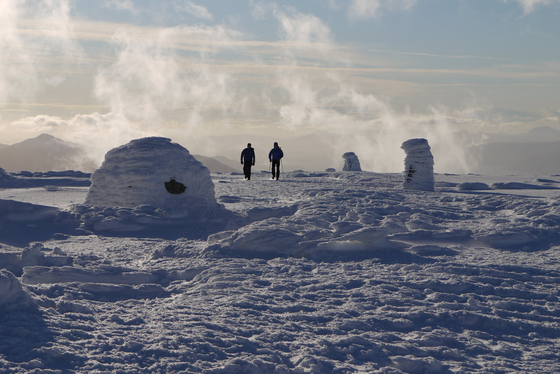
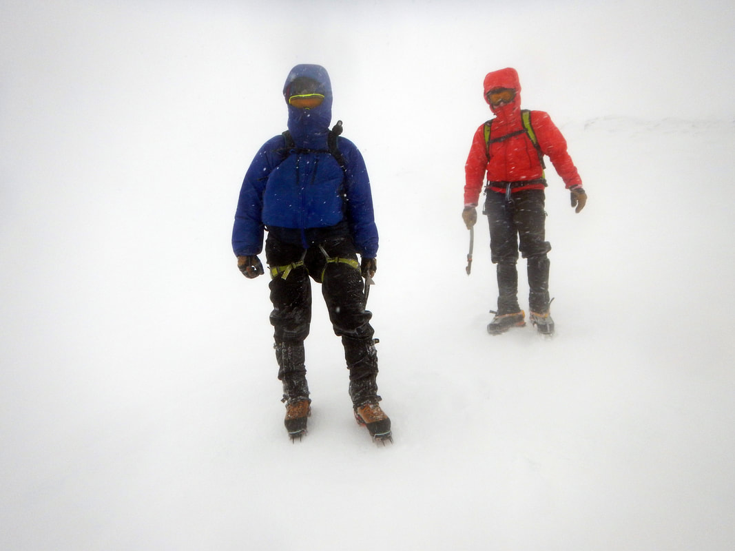
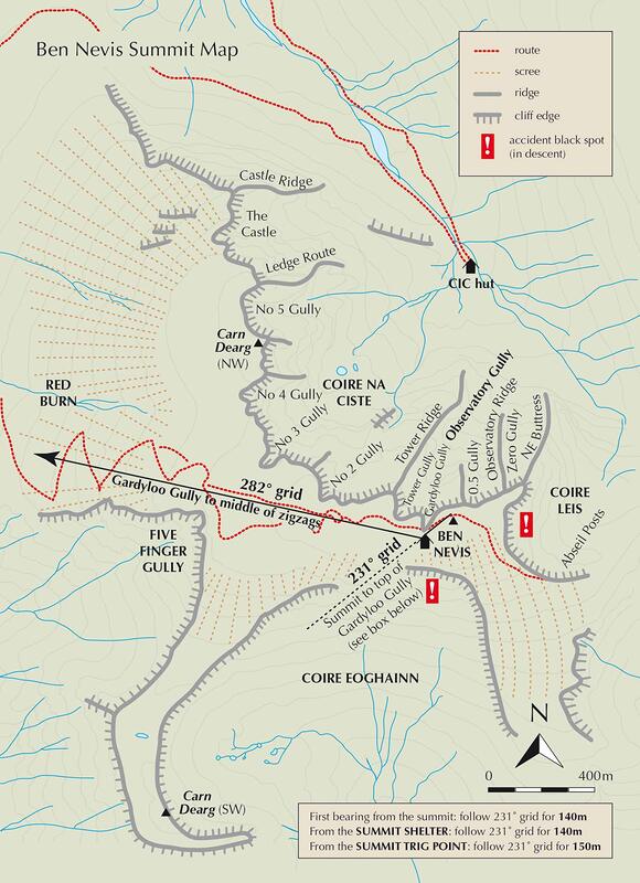
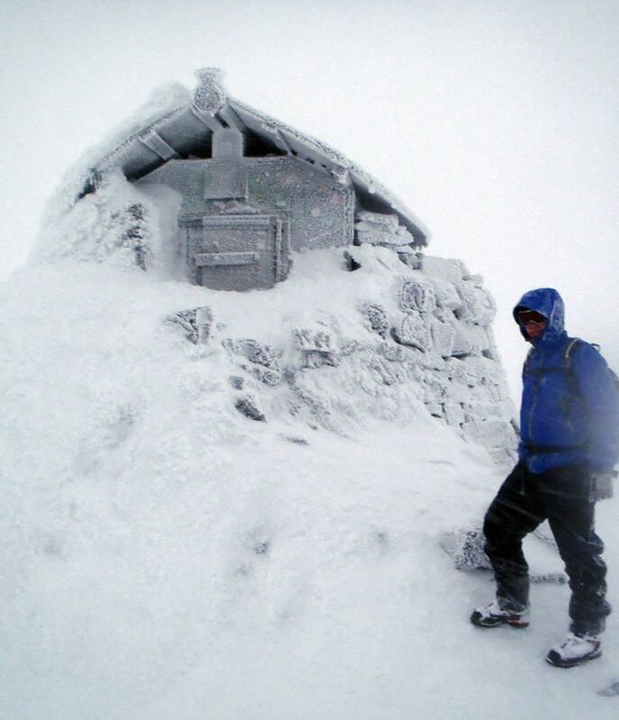
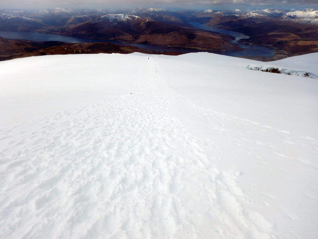
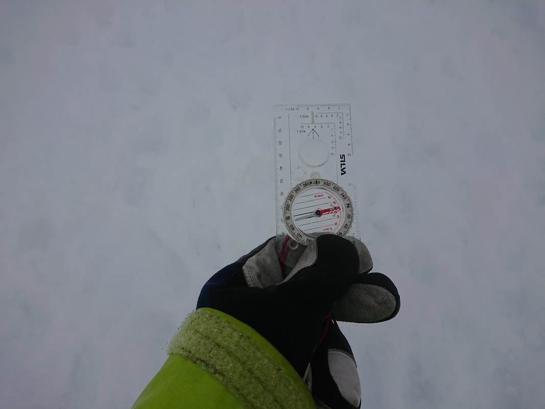
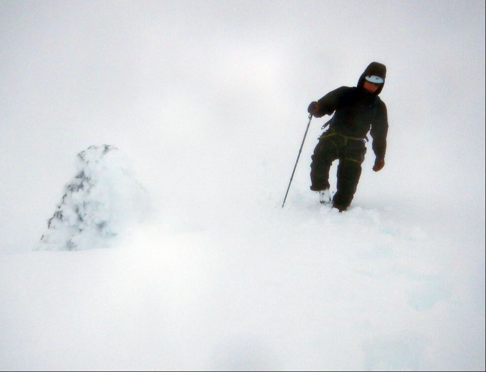
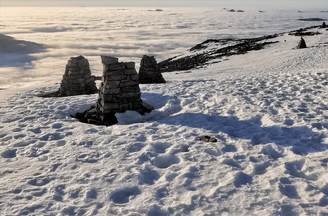
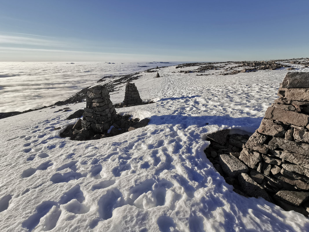
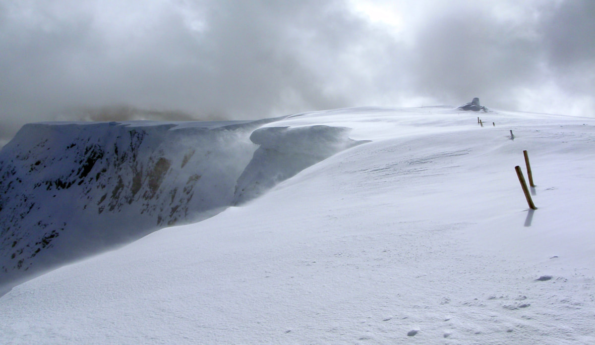
In good visibility, navigating up and back down Ben Nevis in winter can seem quite straightforward. It is a busy mountain and there is often a well trodden path to the summit, as well as cairns above 1150m about every 50m along the way. When you can see as far as Skye to the west and Cairngorm to the east, it is not surprising that you should be able to find your way easily. Even then, the path above 900m or so is usually covered in snow between December and May and can be nearly impossible to find and follow. If there is no boot trail through the snow, it can be quite confusing, even in good visibility. And the summit is only clear about 20% of the time in winter. In the cloud, when there is no definition between the snow on the ground and the snow and cloud in the air all around you it is a very serious place, and navigation skills need to be very accurate. The skills you need are to be able to follow a compass bearing accurately, and to measure the distance you walk along the ground by counting your paces. With these skills, you can then follow your progress on the map and plan the next section of walking, as long as you are very used to using maps and identifying features on the ground that are marked on the map. Of course, most features will be covered by the snow, just to make it even harder! The high summit plateau of Ben Nevis is surrounded on nearly all sides by steep and difficult ground. Many accidents have occurred in descent. Often this part of the day will call for more concentration and judgement than any other time, especially in considering human factors that will influence decision making. Even if you make it to the top, getting down again can be the hardest thing. The best and quickest descent is by the Mountain Track. Careful use of map, compass, pacing, possibly GPS and the sketch plan of the cliffs given below will help to get you down, but local knowledge is invaluable. When visibility is good, make a close study of the general topography of the mountain; if possible visit the summit plateau with a view to memorising its details and recording important compass/GPS bearings. The ruined observatory, topped by a survival shelter, is an unmistakable landmark on the summit itself, even when the neighbouring triangulation point and numerous cairns are covered by snow. Follow a grid bearing of 231° (grid) for 150m from the summit shelter. This will avoid the steep drop of Gardyloo Gully close on your right. Then follow a bearing of 282° (grid) to the 1200m contour and as far down as you need. In 2022 grid north is very close to magnetic north so you can set your compass to these bearings. In future years magnetic north will move and you will need to adjust these grid bearings accordingly. On the second bearing you should reach a short steeper section after 300m and continuously steeper ground after 900m of downhill travel. A line of well built cairns now marks this route at fifty metre intervals to the top of the zig zags on the Mountain Track, however the cairns can not be used alone in poor visibility without following a compass bearing. Continue on down a steep but easy slope for another 1km on the same bearing until you find the Mountain Track and you can follow this. It crosses the Red Burn at 670m so don't descend below this altitude on this bearing. Can I just follow the cairns? The cairns that have been built above 1150m are there to help you. They will let you know that you are going in the right direction, but you will need to use your compass to keep you walking straight in the right direction. You can not rely on being able to walk in a straight line without a compass. It is common to have visibility of about 10m, so you will not be able to see the next cairn 50m away. The cairns get covered in rime and snow that make them blend in to the snow on the ground, so they can be very hard to see. In winters with a lot of snow, the cairns can become buried. The picture above has 5 cairns, all over 1m tall, all buried in the snow. How do you follow a compass bearing? The summit of Ben Nevis in poor visibility is not the place to learn! This is a skill to practice and perfect somewhere with no hazards around you. Go on a course or ask a friend with these skills to help you. After setting the right bearing (see diagram above) hold your compass in front of you with the Direction of Travel arrow pointing in whichever direction you happen to be facing. Keep holding the compass in front of you and turn around until the north end of the magnetic needle lines up with the north arrow in the compass housing (the north end of the magnetic needle on your compass will probably be coloured red and some compass needles also have "N" on the needle). It is your body that turns - not the compass baseplate. The Direction of Travel arrow now "does what it says on the tin" - tells you which way to go. While you walk along, you need to hold the compass centrally in front of your body with the baseplate horizontal and positioned so that you can see the alignment of the magnetic needle whilst at the same time looking along the Direction of Travel arrow. Make sure your phone is not close (within 40cm) to your compass, and that there is nothing made of steel near by (such as ice axes or walking poles). These will make your compass needle point in th ewrong direction. How do you measure the distance? From the summit you need to walk 150m on a bearing of 231° (grid). You can measure this distance by pacing, counting the number of paces you take. Having practiced a lot in a friendly place, I know that I take 60 paces (that is 120 individual steps) to cover 100m along the ground. If the snow is deep and soft I will take a few more paces, and if I am tired or carrying a heavy pack I will take more again. However, for me, 60 paces is a pretty good measurement of 100m. To measure 150m I will walk along following my compass bearing, counting until I get to 60 paces (100m). Then I will start counting again from zero the 30 paces to measure the 50m. You need to know how many paces you take to cover 100m. It will probably be a different number to mine. You should do this somewhere with no hazards, well in advance of needing to do it for real. Measure the distance with a 50m climbing rope, or on a running track, or find a straight path on a map with distinct and easily recognisable features that are exactly 100m apart and practice there. Best still, do all three of these to get your pacing very accurate, then practice it in the snow wearing your winter boots and carrying your rucksack. After walking 150m you should see three cairns close together, as long as they are not covered by snow. This is the point that you turn right in descent, change to the second bearing of 282° (grid) and walk off in this direction. These three cairns are positioned to point you in the right direction. The central one is the turning point; the first and central cairns line up with where you have come from; the central one and the third one line up with where you need to go next. Have a look at the image below. The central cairn and the third cairn clearly line up with the cairns on the bearing of 282° (grid) which will lead you across the plateau to the 1200m mark and down onto the zig zags of the Mountain Track. It is nice to know this, and quite obvious when the weather is clear. In poor visibility, this is another little thing to tell you that you are going in the right direction. However, you will still need to use your compass to keep you going in the right direction between the cairns and if you can't see the cairns. I have been walking and climbing on Ben Nevis and on all the mountains in this area for 27 years, and some of my scariest moments have been while navigating off the summits. When you are walking in a whiteout, you can not see what is in front of you at all. You are in a complete white room with no contrast between the ground and the sky. You can walk off a cornice and be falling before you know that it is there. When the only thing that will stop you walking off the cornice is your skill and practice in following a compass bearing and pacing the distance you are walking, you need to have total faith in your abilities. So, when you get it right, it is a very rewarding experience.
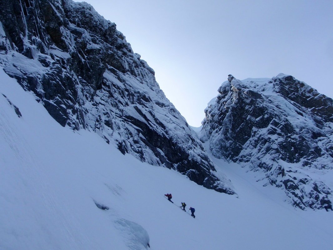
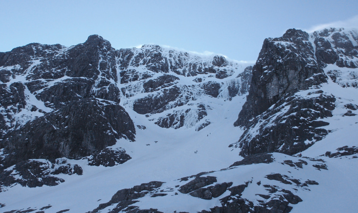
If you would like us to help, you can join one of our guided walks up Ben Nevis this winter and we will show you what you need to know. Take winter navigation seriously. Most accidents in winter start off with a navigation error, and end in a trip, stumble or fall. Get some training and do lots of practice in a safe environment. Remember that you can turn around before you get into a situation that is beyond your skill set. Here are some West Coast grade III winter climbs to test you. If you want to push into grade IV you should make sure that you have a bit extra capacity in reserve on grade III. These climbs will give you a good idea of how you are doing and make sure you are ready for grade IV. 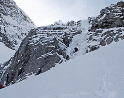 Tower Scoop (III) and Good Friday Climb (III), Observatory Gully, Ben Nevis This is a classic combination of two short Grade III ice climbs high on Ben Nevis. They are very reliable and offer fantastic climbing, but linking them together is much trickier than the climbing. Tower Scoop is climbed in two pitches of great ice with a big snow slope at the top. Not only do you need to protect your second with a snow anchor belay at the top but it is on a steep slope that feels like a very exposed position. Getting from here to the foot of Good Friday Climb is the next problem. In good snow you can short rope across the slope underneath Gardyloo Buttress but think carefully about how you do this. It is a very steep slope with a big drop beneath you. If short roping does not appeal it is unlikely that pitching will feel any better! A combination of short pitches with your second staying beneath you on a pendulum line might be best to avoid the swing of a fall. Either way, it’s a good puzzle to practice and come up with your favoured solution. Once you have successfully traversed the slope, Good Friday Climb will seem quite straightforward and lands you right on the summit with just the walk down to manage. Morwind (III,4), Coire an Lochain, Aonach Mor For some reason we seem to equate ease of access with security on this crag. We can get to it very easily using the gondola and chairlift and it seems like this makes it a safer place to go climbing. This is not the case as I have learnt (the hard way). Facing east it catches all the snow being blown over from huge snow slopes on the other side. This crag is renowned for massive cornices and wind slab building in front of your eyes. Morwind is found on Central Buttress and it is a relatively secure place to climb to avoid the cornices and avalanches but the question is, how do you get there? In stable snow, go down Easy Gully and get really slick at moving through the cornice, down the gully and across the steep slope to the foot of the climb. This is quite a steep slope and can feel quite spicy in some snow conditions. With cornices and avalanche hazard you might well question whether you want to go to this crag at all but I have found that an abseil approach to Morwind and a climb straight back up can sometimes work out quite well even in a considerable or high avalanche hazard. Of course, there are some provisos; you need to know where the abseil line is (and please don’t abseil down over people climbing up) and where the anchors are for the three pitches of abseiling; and you need to be sure you can climb back out again since a walk down from the foot of the crag will be much more threatened by avalanche than climbing the route. The climb itself is really cool. Brilliant belays and protection in solid granite with quite poky and sustained climbing making it great fun. It also goes in just about all conditions from frozen turf and a little rime to buried under solid neve. The White Line (III), Coire na Ciste, Ben Nevis When you learn that this climb was descended before it was climbed you can’t fail to be very impressed by the skills of Goodeve and co. Seven long pitches of great climbing with some ice screw belays, tricky route finding, awkward belay stances and a very big feel make it quite a test. In fact I would say it is worth a grade of IV,3 due to its length and sustained climbing. If you can get up this climb in a reasonable time you must be climbing quickly, making good decisions and be very efficient. It’s all straightforward climbing but you need to be doing the basic stuff really well to climb this before it gets dark. Western Rib (III), Aonach Mor West Face With a start up the gondola it is easy to think that a day on the West Face of Aonach Mor will be quite short. This is not the case! It is a good walk in to the climbs and locating the start of them is notoriously difficult. The climbing is very nice blocky granite with a few pitches at the start. The angle of the ridge eases as it becomes more defined leaving a few hundred metres of quite moderate climbing. However, it is not clear whether it is best to move together or pitch. I recommend changing to moving together as soon as it feels comfortable for the second half of the climb. Give it a go to make up your own mind and remember to pay attention to the navigation to get back over the plateau. It is a long walk down if you miss the last gondola but you certainly won’t be the first. Castle Ridge (III), Ben Nevis To me, the two crux sections of Castle Ridge seem harder than anything on Tower Ridge. The first crux corner feels really quite hard with wet snow or rime on the rocks. It is much easier with a good build-up of snow and very good freeze but the climb is not very high up and you don’t always get this. The second crux is a small chimney corner that is tremendously exposed. Once you are used to hooking up steep rock and hanging out over huge drops you’ll be fine. However, any nervousness in your climbing will be exposed here just as much as the pitch is exposed. You need to change between short roping, mini-pitching and long-pitching a few times. With an approach threatened by avalanche and a difficult descent, the whole package is harder than it appears at first glance. Once you've climbed these routes you will be well practiced in the wider skill set you need for grade IV. You will be moving fast enough, climbing hard enough and have enough in reserve for climbing at grade IV. But which climb at grade IV should you go for? Try Green Gully on Ben Nevis. This is a super popular climb with five pitches of snow-ice and some reasonable belays. North Buttress on Buachaille Etive Mor is excellent as well. This has many pitches of mixed climbing that are well protected with quick easy belays. And then there is always Tower RIdge ....
Storm Barra brought a good bit of fresh snow for us on Tuesday, on very strong winds. This snow is quite patchy because of the wind moving it to sheltered locations. We have had more snow since Tuesday and the freezing level has been going up and down a bit between 900m and 500m or so. What does all this mean for us going out climbing? It means that there is a good amount of unconsolidated snow above 800m which can make it hard to move around. Wind blown ridges are better for easy walking and the big gullies and steep slopes are places to avoid for a while. We have enough snow for avalanches already, including one that caught someone, and the big danger is of being swept into the many exposed rocks. Burials in Scotland are quite rare thankfully. So, good route choices might be the Aonach Eagach, Curved Ridge, Forcan Ridge and other big mountaineering ridges. The Ben Nevis ridges (Castle Ridge, Tower Ridge, NE Buttress etc.) will be covered in soft snow that will make progress slow and awkward rather than hard. They are good objectives right now but will take time, and the days are short. Ice is growing, but it is not ready for climbing yet really. We will need some thaw freeze cycles for snow-ice to start forming, or a really cold spell for cascade ice to form. What is good right now is the steep mixed climbing. I climbed Gutless on Douglas Boulder on Tuesday and another team was out on Cutlass before storm Barra arrived (just about!). Arthur (VIII,8) was climbed this week as well. I also climbed North Buttress on Buachaille Etive Mor this week which was excellent, and always is. Buttresses are white and the rocks are frozen in place above 900m or so. Turf is freezing well - I found a few bits a bit soggy still, right in the deep chimney of Gutless, but exposed, big bits of turf were well frozen.
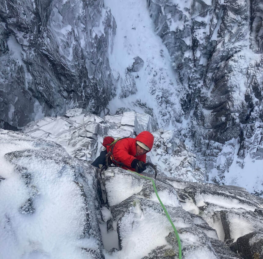
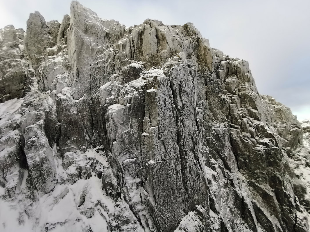
So, steep, snowed up rock climbs are good as well as some more turfy climbs like you find at Stob Coire nan Laoigh and on the West face of Aonach Beag. The weather at the weekend could be challenging! It looks a bit warmer on Saturday with snow/rain and strong winds, but it might be a bit nicer on Sunday. Happy climbing. Storm Arwen devastated the east coast, but didn't do much to the west coast. We had a little snow and some strong winds, but nothing like what was endured over east. What the storm did do for us was to cool down and freeze the ground pretty well. Strong northerly winds, little snow to insulate the ground, and very temperatures froze the ground at high levels on Ben Nevis. Monday and Tuesday brought a thaw at all levels and rain on the tops, but it cooled down again on Tuesday evening. With freezing winds blowing cloud onto the crags and a little fresh snow, the crags above 1100m facing the wind were rimed up and still frozen solid. Yesterday, Wednesday 1st December, Ali and I went up for a look. We were not hopeful of great climbing and our first option was certainly not white. However we found that Number Three Gully Buttress and the Archangel wall were white with rime, so we climbed Hobgoblin. The rime was extensive, but superficial. It made everything white and there was snow on the ledges, but it did not get in the way at all. There is some ice in the cracks as you'd expect with a rapid freeze after a lot of rain, but the turf on the crag was well frozen and there is a bit of ice in drainage lines forming. Hobgoblin goes straight up the cliff, passing The Gargoyle just to its right. In many ways it is a better, more direct version of Gargoyle Wall, and only slightly harder. The crux is on the first pitch, a well protected pull on thin hooks and even thinner feet, but it is short lived. Hobgoblin also straightens out the final crack which Gargoyle Wall deviates from onto easier ledges at the top. Cold weather will stay with us through the weekend and into next week. So, there should be some good climbing to enjoy at the weekend. We will get further fresh snowfall and cloud being blown onto the crags, so they should stay rimed up. Sunday looks like a lovely day for climbing. The big ridges will be difficult and slow going with fresh snow covering the ledges and cracks, but being no use to help the climbing. There is little snow cover so the big gullies are not at all full, and there is little ice. It is all about the steep mixed climbing as it normally is this early in the winter.
|
AuthorMike Pescod Self reliance is a fundamental principle of mountaineering. By participating we accept this and take responsibility for the decisions we make. These blog posts and conditions reports are intended to help you make good decisions. They do not remove the need for you to make your own judgements when out in the hills.
Archives
March 2024
|
 RSS Feed
