|
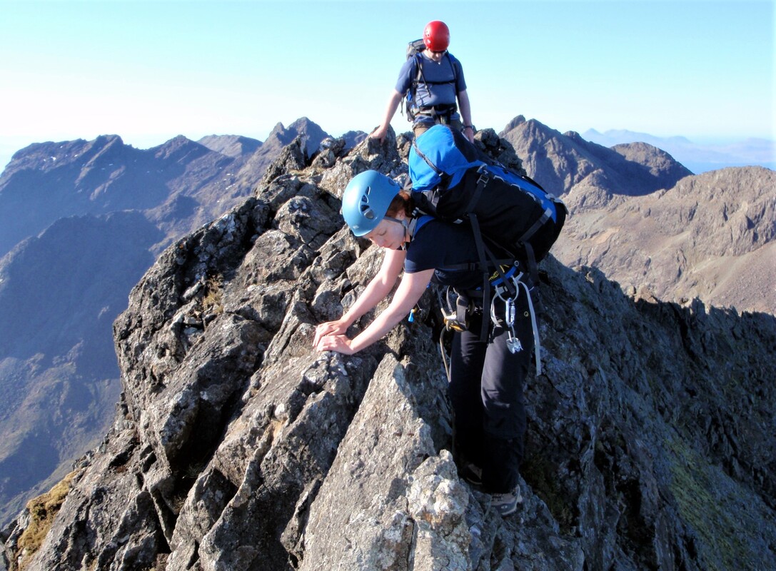
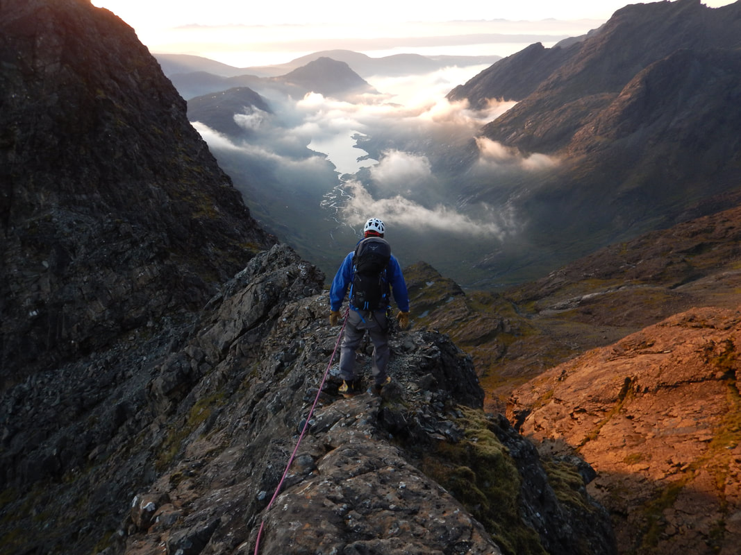
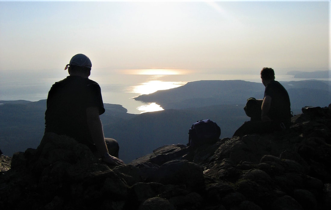
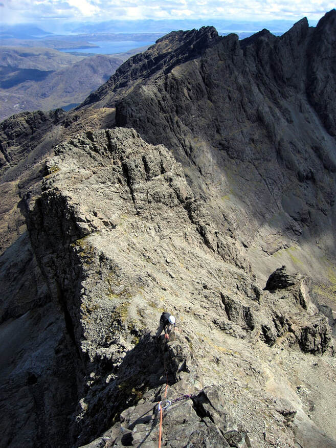
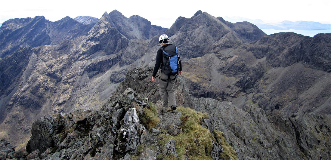
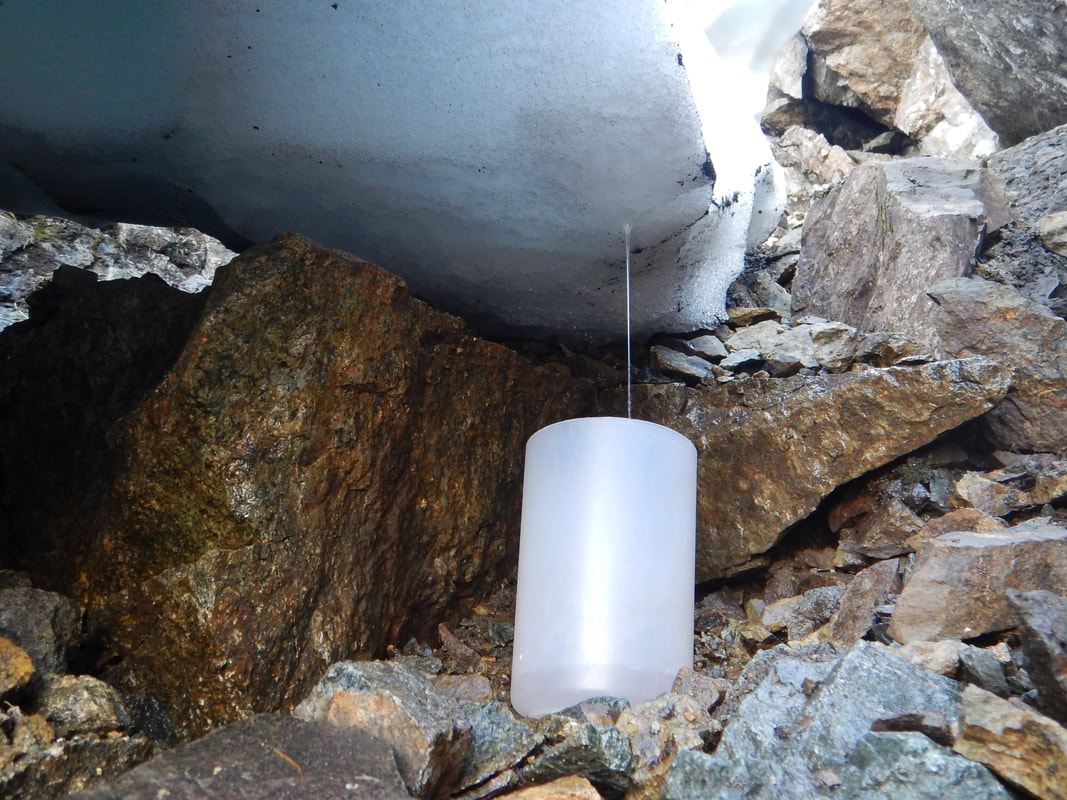
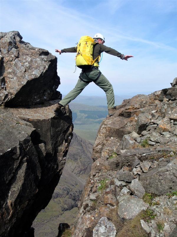
A traverse of the Cuillin Ridge is a classic expedition that many people aspire to. What most people underestimate is just how big a challenge it is and how well it measures up to anything else in the world. It is truly world class. We certainly can't go to the Cuillin Ridge on Skye right now, but this might be a very good time to do some planning for when you do go there. April, May and June often offer the best conditions to be there; settled weather, dry rock, light winds and even one or two old snow patches from th winter to offer a supply of water. A traverse of the full ridge often starts with Gars Bheinn on the south end and goes north to finish on Sgurr nan Gillean. Return The walk out will feel far longer than it really is but you do eventually reach the Sligachan for a well earned celebration. Length Gars Bheinn to Sgurr nan Gillean is 11km including the short extra bits to get to Sgurr Dubh Mor and Sgurr Alasdair. There’s also 1750m of ascent going along the ridge. Add on to this the walk in (2.5km and 895m ascent from Loch Scavaig) and walk out (5km to Sligachan) making it 18.5km with 2645m ascent. Grade The exact route taken is open to much variation and you’ll need to decide your rules of engagement. Taking all the easiest options means there are several sections at grade Difficult that must be climbed and a few abseils. Optional extras include the TD Gap (Hard Severe), King’s Chimney (Very Difficult) and Naismith’s Route (Very Difficult). Guidebook and Map The SMC guidebook “Skye Scrambles” has a good description of all the individual sections as well as good diagrams. Andy Hyslop’s mini guide to the ridge is possibly the best resource to have though. The Harvey’s map “Skye The Cuillin” is the best map and is printed on waterproof paper. It’s at 1:25,000 but has the main ridge at 1:12,500 scale and also describes common routes on the sides of the main ridge. Valley Base The logistics can be awkward down to the single track roads and the length of the traverse. Two cars are often necessary and being based at Sligachan is probably best. Leave one car here and drive to Elgol to take the boat to Loch Scavaig. If it all works out you will get back to Sligachan after the traverse. However, if you escape off the ridge early you will end up in Glen Brittle a long way from your car. Approach Going from South to North as is most common in the summer, you have two options. From Glen Brittle camp site it is best to walk up the well made path to Coir a’Ghrunnda. There is good water here so you don’t have to carry any for the two hour walk in. A short boulder slope from the west end of the loch takes you to the crest of the ridge. Dump the bags and go out to Sgurr nan Eag to start your traverse from there. The better option these days is to take the fast boat from Elgol to Loch Scavaig. You can ask to be dropped off on the west shore for the easiest route up to Gars Bheinn where purists will say you have to start anyway. This approach has the added dimension of a boat trip making the whole enterprise feel that much more adventurous, and is recommended. Route Summary There is far too much detail in the 11km along the ridge to include much of a description here. There is continuous scrambling and occasional sections of rock climbing. Getting along the ridge involves more route finding skills than navigation and it takes a while to get used to the structure of the rock to choose the best route. There are a few sections where time can be saved (or lost) with a bit of knowledge of the best line to take so spending a few days scoping out these sections is time well spent. In the mist, completing the traverse is all but impossible without prior knowledge of the best line. Sections to scope out include – Sgurr nan Eag and Sgurr Dubh Mor. Sgurr nan Eag involves only very simple scrambling if the best line is taken, this being on the west side of the crest. Sgurr Dubh Mor has a complex line that is particularly confusing in the mist. You can lose a lot of time in the TD Gap so it might be worth doing this with your rucksack on or practicing hauling your packs. It’s good to know how to avoid it as well in case it turns out to be wet – traverse under the west side of the TD Gap on a trail in the scree to the Bad Step of the south west ridge of Sgurr Alasdair. Scramble up this and reach the top of Sgurr Alasdair. Sgurr a’Mhadaidh and Bidein Druim nan Ramh are complex peaks, each with several tops. The central peak of Bidein usually requires an abseil to descend and finding the abseil point is tricky as it is not obvious. There's also the Belly Ledge on An Casteal to avoid, so a day spent going from An Dorus to Bruach na Frithe would be very useful. Best tactics for a complete traverse Spend some time on the ridge before you set out on your traverse. The Cuillin hills are unique in the UK for their continuously rocky nature and the relentless exposure on the crest of the ridge. It’s the never ending concentration required that is so draining for most people and getting used to the scrambling both up and down will help with this. By moving efficiently and confidently on exposed sections you’ll save lots of energy, both physical and mental, so get some long days in on the ridge first. Set your rules of engagement. What is your objective? To reach all eleven Munros? To get from end to end? To do these and to climb the TD Gap and Naismith’s Route? Make sure you agree your objectives with your partners but be prepared to change these if the weather does not work out as expected. Decide whether to bivi on the ridge. Watching the sun set over the sea from a camp on the crest of the ridge and scrambling on the ridge in the early hours of the next day are great experiences. The down side is carrying the extra gear required. Going light and fast is great, as long as you do move fast. Even then you should expect one of the longest days of mountaineering you’ll ever do. Another idea if the forecast is good, is to have a big dinner then walk up in the evening to sleep on the ridge. You’ll have less to carry then and will have a head start on the traverse. Water is a problem. There are very few places to fill up with water and in hot dry weather you will need to drink a lot, especially if you bivvy over night. Find out where you might find water, look for these places in advance, plan your bivvy spot around the availability of water. I know of many attempts that have failed due to lack of water. This is the toughest single mountaineering challenge in the UK, so it’s always going to be valued very highly. However, there is so much more than this.
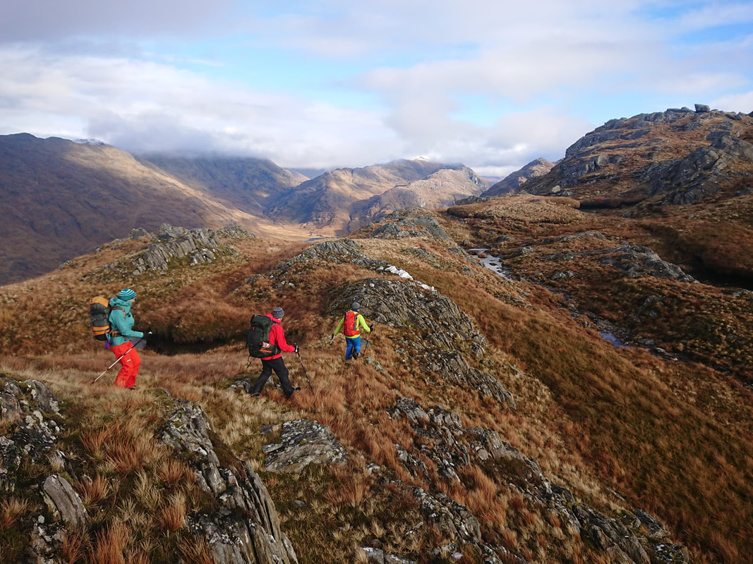
Being on an island and rising straight out of the sea makes the setting outstanding. Sections of the ridge require you to stay absolutely on the crest with the full drop down to the sea on one side and down to Loch Coruisck on the other. The nature of the volcanic rocks is fascinating, following stepped dykes sometimes and crossing the many gaps where dykes cutting across the ridge have eroded. The combination of all these makes it very special but it’s even more special because you have to work hard and have some good luck to complete a traverse. As with most things, the more you have to work to achieve something, the better the reward.
3 Comments
20/4/2020 15:21:51
Do you have a resource for a topo for the Culin Ridge? What is the best guidebook? I'm in the US and I am looking to climb the Cullin next year. Seems like 2020 is a nontravel year for us.
Reply
Mike
20/4/2020 20:52:39
Adrian Trendall has just written a superb book with excellent info, maps and topos.
Reply
21/4/2020 08:48:49
Thanks for the kind words, Mike. If you haven't already got a copy do you want me to send you a review copy? Matt Shove, we've sent quite a few copies to the US so get in touch and we can get a copy posted out to you and you can get planning. Your comment will be posted after it is approved.
Leave a Reply. |
AuthorMike Pescod Self reliance is a fundamental principle of mountaineering. By participating we accept this and take responsibility for the decisions we make. These blog posts and conditions reports are intended to help you make good decisions. They do not remove the need for you to make your own judgements when out in the hills.
Archives
March 2024
|

 RSS Feed
