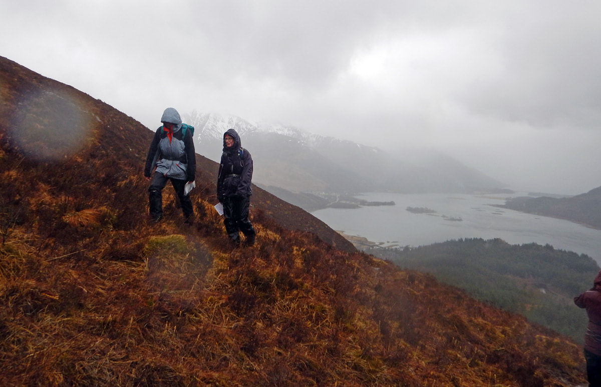
 Today was slightly wet with wet snow falling on the tops and light rain below about 1000m or so. I stayed well below the freezing level with members of Lochaber and Lorn Ramblers doing some navigation training with them. There was quite a range of abilities in the group of seven from novice to quite advanced but we started with some core principles and built up from there. Orientating the map and keeping it that way as you walk along is such a key skill that we spent some time palying games to get really slick at it. We also covered compass use, contour interpretation, pacing of distances and put it all together with the 3D system - Direction, Distance and Description. Being able to walk in the right direction, for the right distance and being able to describe the journey and the end point all come together to make for good navigation. 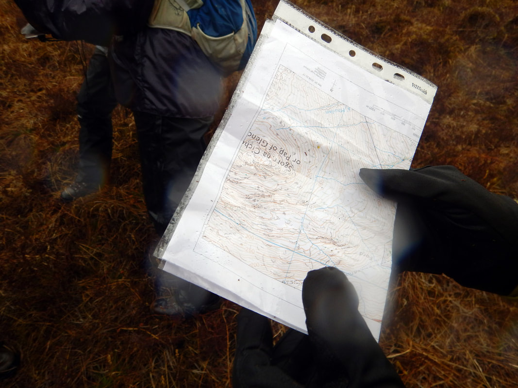 Measuring distances on the map and pacing out distances on the ground, working out an accurate direction on the map and following a compass to keep you going in that direction are the skills you need right now to get up and down Ben Nevis. With very good snow cover on the summit (in fact from half way to the top!) you need this level of navigation to safely reach the summit. It looks like this will be the case for a couple more months too, just when the mountain track starts to get busy! 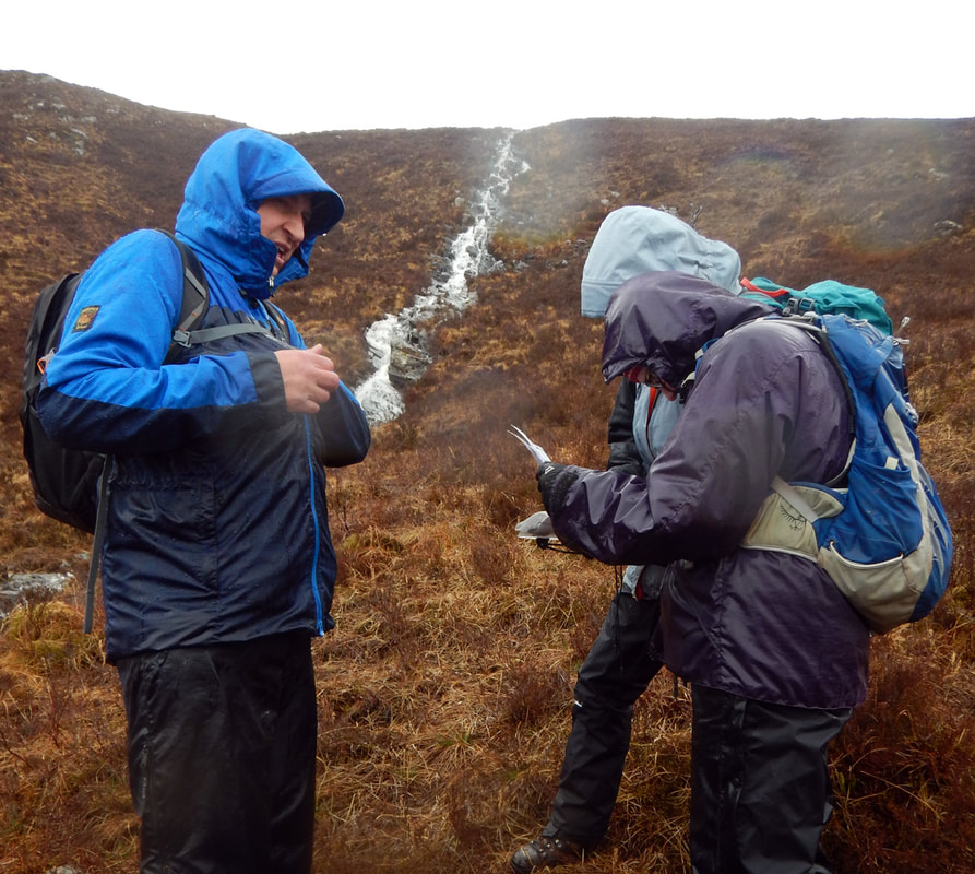
0 Comments
Your comment will be posted after it is approved.
Leave a Reply. |
AuthorMike Pescod Self reliance is a fundamental principle of mountaineering. By participating we accept this and take responsibility for the decisions we make. These blog posts and conditions reports are intended to help you make good decisions. They do not remove the need for you to make your own judgements when out in the hills.
Archives
March 2024
|
 RSS Feed